Overview
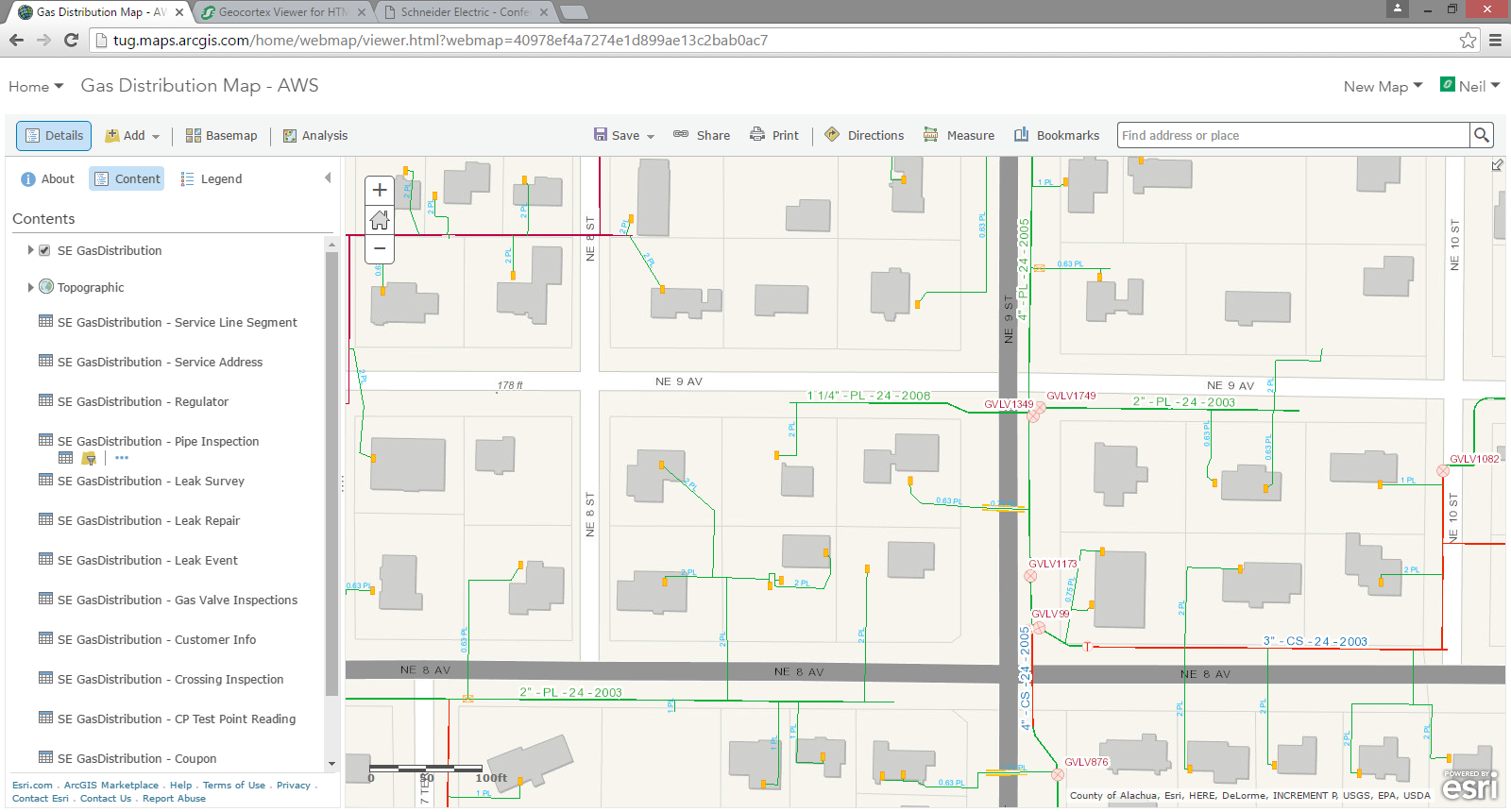
The Gas Facilities map enables utility staff, from field technicians to customer service representatives, access to basic geographic utility information. This core gas utility map is designed to make asset information accessible to the organization using a web browser or native client.
The Gas Facilities map can be deployed in Portal for ArcGIS or within an ArcGIS Online organizational account.
Requirements
Gas Facilities requires specific technical experience and software.
| Requirement | Description |
|---|
| Experience |
- Publishing GIS Services
- Authoring maps
- Administering groups and organizing content in an ArcGIS organization
- Configuring ArcGIS Online or Portal for ArcGIS configurable application templates
- Knowledge to publish map services securely outside the corporate firewall
|
| Software | Data Publishing
- ArcGIS for Desktop (Standard or Advanced)
GIS Service Hosting
- ArcGIS Online or Portal for ArcGIS subscription, or
- ArcGIS for Server 10.2 - 10.4 (Standard or Advanced)
- ArcGIS Data Store, or
- Enterprise or workgroup geodatabase
Map and App Authoring
- ArcGIS Online or Portal for ArcGIS subscription
|
| Applications |
- Basic Viewer (ArcGIS configurable web application template)
|
Zip File Contents
Gas Facilities Map – Home.docx - Overview of the solution and basic requirements needed to implement it.
GasFacilitiesMap – Get Started.docx - Instructions on how to install and configure the solution in a ArcGIS portal environment.
MinervilleGasDistributionMap.mxd - The ArcGIS for Desktop map used to publish the gas facility service.
MinervilleGas.gdb - The geodatabase containing sample gas network data.
GasFacilities.png - Icons for the services, maps, and apps.
Try Now
Try Gas Facilities
All Maps and Apps by Industry
Electric
Gas/Water
Communications
GasFacilities.zip